


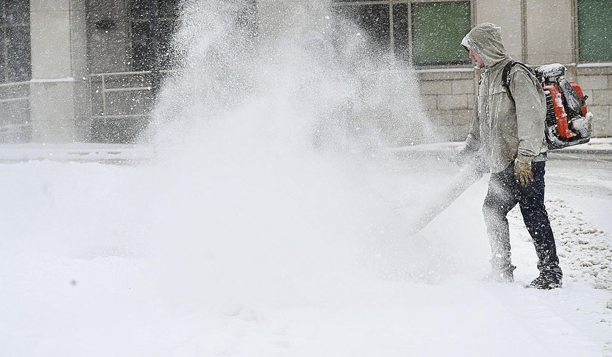
The national capital region braced for a night of wintry weather Tuesday, with up to a half-foot of snow anticipated overnight.
The National Weather Service estimated up to 6 inches in the District and its immediate suburbs by Wednesday morning as federal agencies and schools closed early to avoid getting caught in the fast-moving flurries.
“Moderate to heavy snow is heading toward the northeast and will impact the D.C. metro area within the next hour,” the NWS said late Tuesday afternoon. “One to two inch per hour rates are possible as this snow band pushes through.”
The weather service added that the heavy snow came as temperatures dipped below freezing, meaning the fresh precipitation would leave “snow-covered roads” around the region.
“If you are traveling, drive slowly and leave plenty of distance between you and the vehicle in front of you,” the NWS said.
Virginia Gov. Glenn Youngkin declared a state of emergency Monday so state resources could be directed to the parts of the commonwealth that are expected to get hit harder than the nation’s capital.
The NWS forecast up to 10 inches of snow for central and northern parts of Virginia, as well as eastern West Virginia.
Closer in toward the District, the Virginia suburbs are expected to see up to 8 inches, especially in areas south of Interstate 66 and Route 50.
The National Park Service also closed a portion of the George Washington Memorial Parkway between Interstate 495 to Spout Run Parkway in Arlington to prevent drivers from being stranded on the narrow, winding highway once the snow starts coming down.
The NWS winter storm warning also extended to central, south and eastern Maryland, with 4 to 8 inches of powder expected to coat roads and byways around the state.
“I am asking every Marylander to take this storm seriously, remain vigilant and cautious, avoid travel on roadways if possible, and yield to snowplows and salting trucks,” Gov. Wes Moore said in a statement Tuesday. “If you must travel, be sure you have a winter emergency kit in your vehicle.”
District Mayor Muriel Bowser declared a snow emergency through the end of Wednesday as well, meaning more than 200 plows are being deployed to keep major city roads clear.
Officials said the snow was falling at a rapid rate once the storm entered its peak by 5 p.m. Tuesday.
Dense flurries made for less than a half-mile of visibility on the roads, the NWS said. Conditions are not expected to improve much by Wednesday morning when the snow transitions into a wintry mix.
The weather service warned that “instances of tree damage and power outages are possible” after the snow is topped off by an icy layer.
School systems throughout the D.C. metropolitan area closed early Tuesday — with the exception of D.C. Public Schools and Maryland’s largest school system in Montgomery County — so students could get home before the weather turned for the worst.
Some schools announced closures for Wednesday, too. That included Anne Arundel County Schools in the Baltimore suburbs, as well as public schools in Culpeper, Fauquier, Spotsylvania and Stafford counties in central Virginia.
Tuesday’s snowfall marks the second significant winter storm for the national capital region this year.
Up to a foot of snow fell in parts of the area during a January storm. It was the District’s first major snowstorm in three years.
• Matt Delaney can be reached at mdelaney@washingtontimes.com.